

Hurricanes batter coastlines, droughts leave entire regions parched, and wildfires reduce lush forests to ash. Among nature’s most destructive forces, floods hold a prominent place. Water sustains urban life and nourishes ecosystems, yet under the right conditions, it can unleash devastating damage on infrastructure, housing, and the natural environment.
Vancouver, perched on the Pacific coast of British Columbia, Canada, faces this very reality. The city sits at the crossroads of multiple flood hazards: the mighty Fraser River, ocean tides, coastal storm surges, intense rainstorms, and a steadily rising sea level. For a metropolis built around natural harbors, busy ports, and waterfront shorelines, water is both a pillar of economic prosperity and an ongoing challenge for urban planners.
How did Vancouver endure catastrophic floods in the past? Why do river swells and ocean tides threaten different corners of the region? And what toll do massive engineering projects take on the natural world? Discover how the city holds back the water and what this battle means for its fragile ecosystems at vancouver-name.com.
The Great Fraser River Floods of 1894 and 1948: A History of Catastrophe
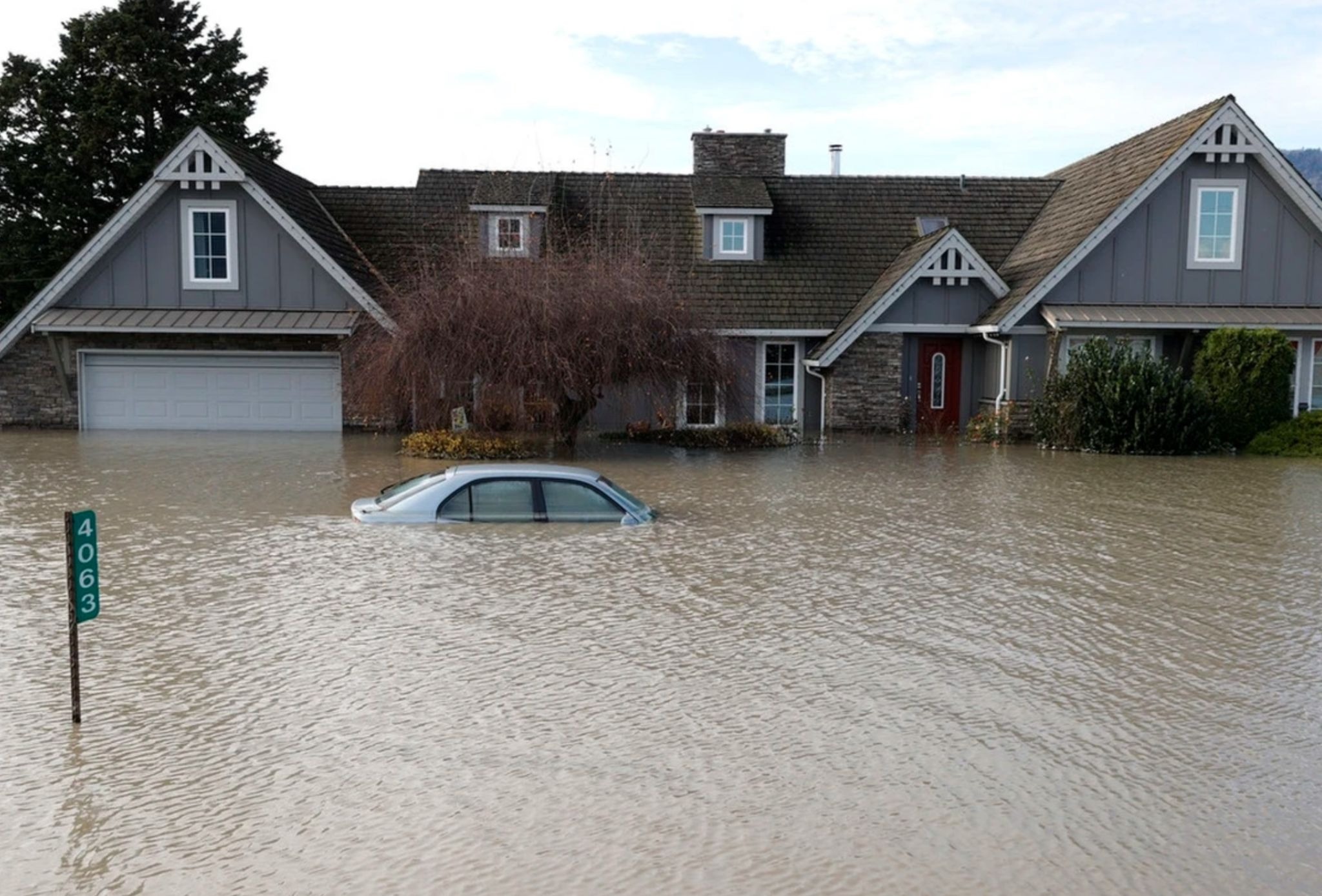
Vancouver’s history has always been intertwined with water. Long before European settlers arrived, Indigenous peoples—including the Musqueam Nation and other Coast Salish communities—thrived along these shores. Rivers, inlets, and tidal flats provided abundant food, vital resources, and travel routes, while seasonal fluctuations in water levels were simply an accepted part of life.
Two of the most defining events in regional history were the catastrophic Fraser River floods of 1894 and 1948. The 1894 event remains the largest documented flood along the lower river in recorded history. The 1948 disaster was equally devastating: floodwaters submerged vast tracts of farmland across the Fraser Valley, damaged or destroyed thousands of homes, and displaced thousands of residents.
While these disasters primarily battered the broader Fraser Valley rather than the downtown core of Vancouver, the aftermath permanently transformed flood defense strategies across the entire region. Following the 1948 disaster, the construction and modernization of dikes became the cornerstone of flood risk management throughout the valley.
Types of Flooding in Vancouver: River Surges, Coastal Storms, and Urban Downpours
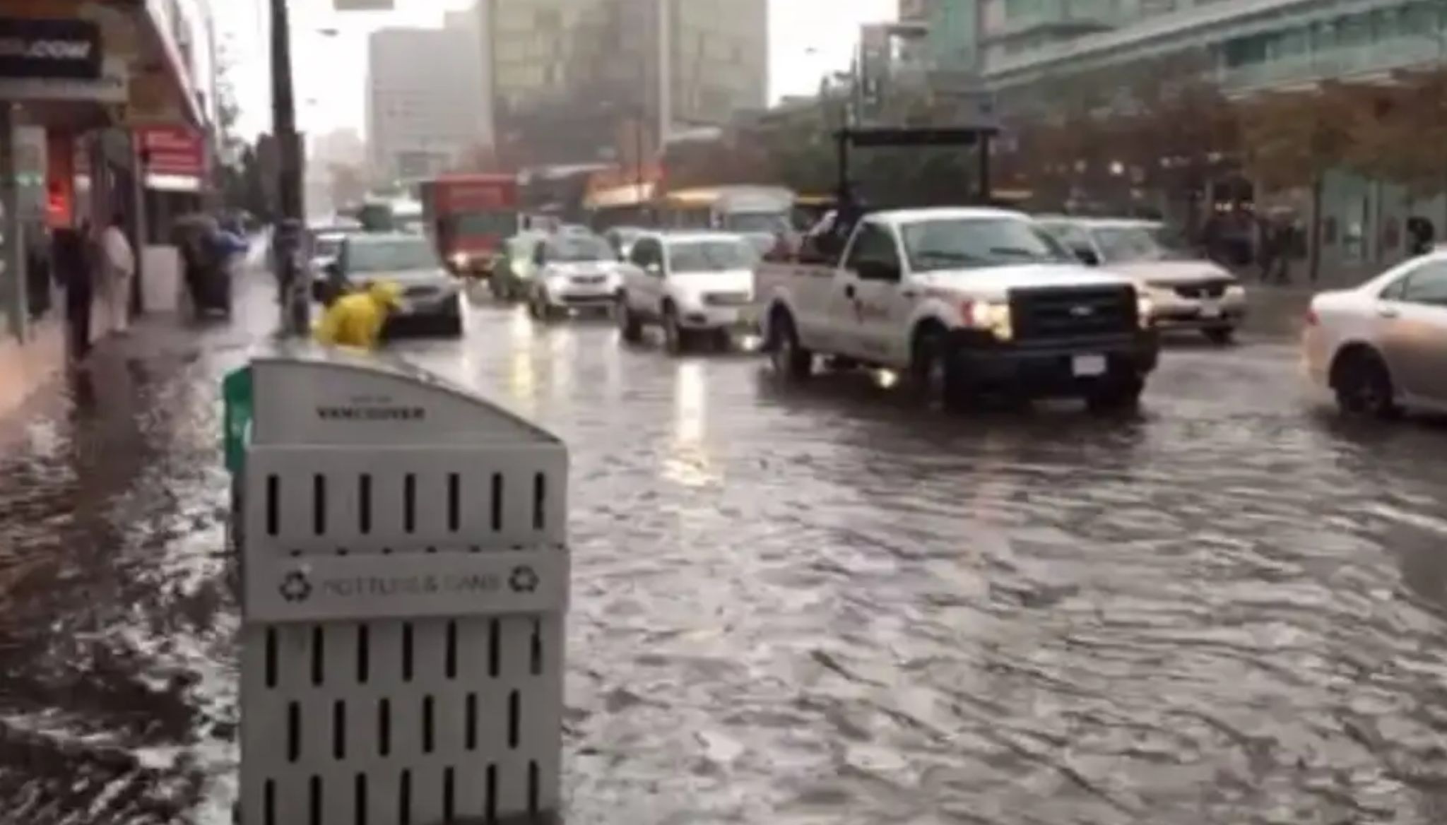
The region’s primary artery is the Fraser River, which empties into the Pacific Ocean just south of Vancouver’s urban center. Its massive watershed spans much of British Columbia, meaning the river’s flow depends far more on province-wide conditions than on local weather. Each spring and early summer, melting mountain snowpacks combined with heavy rainfall can cause water levels to spike. When that volume exceeds the capacity of the river channel and protective dikes, low-lying communities face severe flood risks.
River flooding endangers more than just roadways and buildings. Swollen currents erode shorelines, transport heavy sediment, disperse pollutants, and disrupt aquatic wildlife. At the same time, natural flood pulses serve an essential ecological purpose: they sustain wetlands, distribute vital nutrients, and create fertile habitats for diverse wildlife and fish populations.
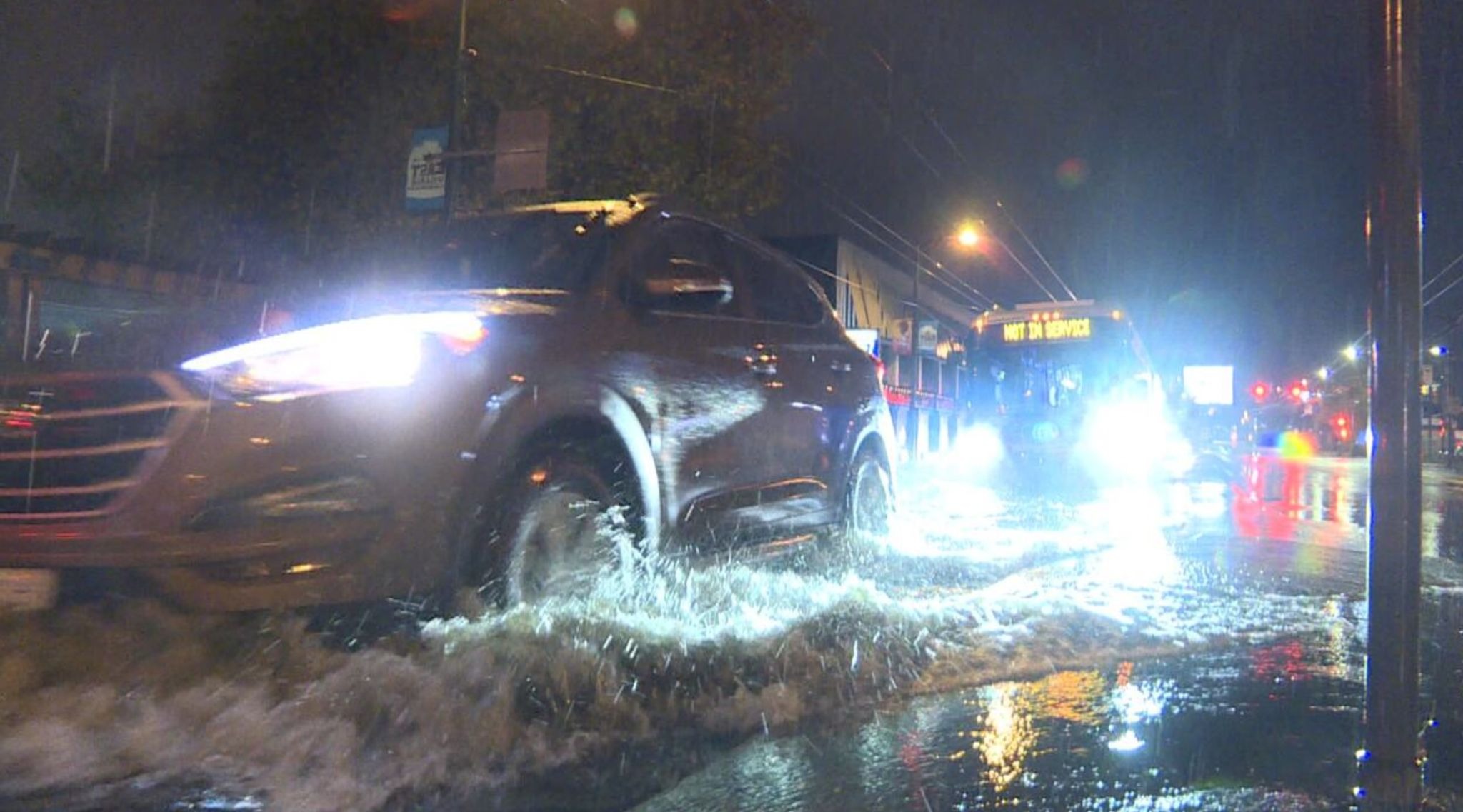
Another threat rolls in from the Pacific Ocean and nearby coastal waters. Coastal flooding occurs when intense winter storms coincide with king tides—a phenomenon known as a storm surge. Strong winds and low atmospheric pressure push ocean water high onto the shoreline, sending waves crashing over seawalls and low-lying pathways, washing away beaches, and damaging coastal infrastructure.
A third risk factor comes from torrential rainfall. Even when the river stays within its banks and the ocean remains calm, sudden cloudbursts can quickly overwhelm city streets. Asphalt, concrete, and dense urban developments prevent rainwater from naturally soaking into the ground. When municipal storm sewers are pushed past their limits, flash street flooding follows, snarling traffic and inundating basements and underground garages.
Crucially, these three hazards can compound one another. A high ocean tide can block gravity-fed drainage outlets, intense downpours can overburden the sewer network, and surging waters can flush urban runoff straight into delicate marine ecosystems.
Defending Vancouver: Engineered Barriers and Their Ecological Footprint
Traditional flood defense relies on a network of dikes, seawalls, riprap, pumping stations, and drainage canals. Dikes keep floodwaters safely separated from urban neighborhoods during river swells. Pump stations lift trapped runoff out of low-lying districts where gravity flow isn’t an option. Meanwhile, storm sewers capture runoff from rooftops, roads, and sidewalks, funneling it away through municipal drainage networks.
Yet hard engineering alone offers no absolute guarantee. Dikes require continuous maintenance, regular structural inspections, and costly upgrades. Drainage systems must be expanded to handle increasingly frequent extreme precipitation events, and urban planners must factor climate trends into future developments. Provincial guidelines in British Columbia now urge coastal municipalities to plan new infrastructure around an anticipated one-meter rise in sea level by the year 2100.
Vancouver is actively crafting comprehensive adaptation strategies for vulnerable waterfronts, particularly along the Fraser River, False Creek, and exposed ocean shorelines. This involves much more than simply pouring concrete for taller barriers. It calls for revised building codes, updated hazard zone mapping, fortified critical infrastructure, and flexible solutions designed to weather changing conditions.
However, heavy engineering always carries an ecological price tag. Towering dikes sever land-water connections, cut off wildlife migration corridors, and alter natural sediment deposits. Hardened shorelines also shrink intertidal mudflats and salt marshes—critical feeding and nursery grounds for juvenile salmon, shorebirds, and benthic organisms.
Stormwater runoff poses an equally critical challenge. Rain washing across roadways and parking lots picks up fuel residues, motor oil, heavy metals, microplastics, and street grime. When these untreated contaminants flush directly into surrounding waterways, they degrade water quality and place intense stress on marine life.
To strike a better balance, Vancouver is leaning into nature-based solutions: rain gardens, bioswales, permeable paving, green roofs, and restored coastal wetlands. These green infrastructure assets allow rainwater to naturally infiltrate the soil, reduce peak runoff volumes, and filter out pollutants before they reach the ocean. While green infrastructure cannot replace structural dikes where catastrophic flooding looms, it provides a vital buffer that complements traditional engineering and nurtures urban biodiversity.
How Flood Protection Can Help Preserve Vancouver’s Ecosystem
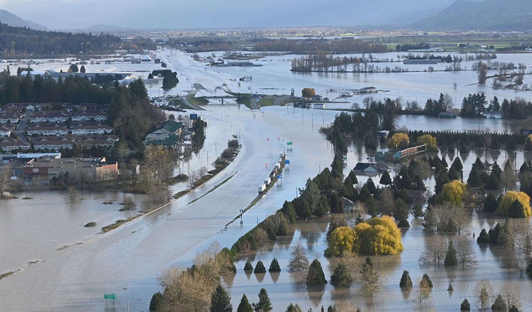
Flooding will always be a defining challenge for Vancouver, but the city possesses a robust toolkit to mitigate the danger—from engineered dikes and pump stations to climate-smart zoning and nature-based solutions. The modern mandate is clear: safeguarding residents and infrastructure must not come at the expense of fragile coastal habitats and clean waterways.
Step by step, Vancouver is learning to coexist with water in an era of climate uncertainty. Success will require sustained investment, regular infrastructure renewal, and an unwavering commitment to ecological balance.